Tehran - Saba:
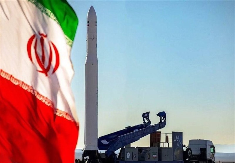
Two important Iranian satellites will be launched by the end of the current Iranian year (ending on March 20), Deputy Minister of Communications and Information Technology and Head of the Iranian Space Organization said on Thursday.
The Iranian space industry is completely indigenous and we are active in all aspects of this industry, Hassan Salarieh added in a statement to Khabar TV (Channel 6 of Iranian TV) on the eve of Space Technology Day, which falls on Sunday, noting that this includes the launch platforms, satellite design and construction, and the necessary infrastructure such as satellite control stations, image capture centers, launch bases, laboratories, and research centers used in assembling satellites.
Extensive measures have also been taken in the field of application development, specifically the use of satellite images and data in various fields.. Iran is one of the few countries that has been able to work in all these sectors at the same time, because it is familiar with the entire chain locally, he said.
"One of the important points regarding the Iranian space industry is that it is indigenous.. Due to sanctions, this industry was formed from the beginning on the basis of local development.. Currently, many private companies and research centers are active in this field, which is a promising point for the country," the Iranian official added.
"Although achieving space technologies is difficult due to technical complexities and international restrictions, its localization leads to the fact that once this technology is possessed, the initiative will be in the hands of the country's scientists and engineers.. This not only allows space technology to move to other industries, but also contributes to improving the quality of designs and raising the level of technology in the country."
Regarding the number of locally manufactured satellites that have been sent into space so far, Salaria said: "Between 24 and 25 satellites have been sent into space. These satellites were in different categories and were initially of lower quality in terms of imaging and resolution, but over time, this technology has improved."
"We are currently designing and building satellites that can operate with imaging resolution of up to two meters, and this process is gradually improving. Both the private and public sectors are active in this field."
Regarding the applications of these satellites and the areas in which imaging is currently being carried out, Salaria said satellite images are currently used in various fields, including agriculture, real estate surveying, damage assessment, environment, natural resources, water, and many other fields.
Thanks to the use of artificial intelligence methods, super-resolution technologies, and other image processing technologies, the accuracy of information extracted from satellite images has increased significantly. These technologies help remote sensing experts perform their tasks better and obtain more accurate information from images.
Salaria stated that "currently, there are many private companies in the country that use these images for various purposes.. Also, the fields of knowledge and research in universities and research institutes are continuously conducting research and development in this field. This technology has become widespread, and in the future it should reach a level where all managers and decision-makers in the country can easily benefit from this information.
Regarding the number of satellites on the launch list, he said: On Space Technology Day (next Sunday), a number of satellites will be unveiled.
Two satellites are expected to be launched by the end of the year, and they are important launches.. At present, there are many satellites on the launch list, and about 24 to 25 satellites are under construction.. We also have about seven to eight satellites ready for launch.